Discover
What’s Your Treaty Story: Digital Story Map
Click here to visit
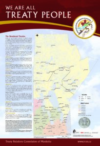
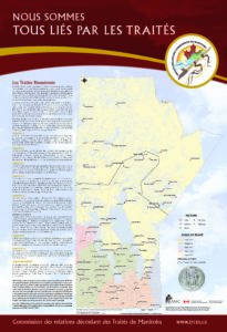
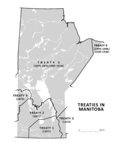
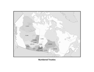
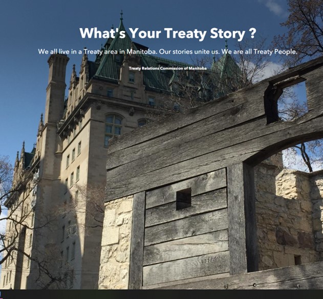
‘What’s Your Treaty Story’ is an ArcGIS StoryMap centered on the Numbered Treaties in Manitoba. The overarching aim of the map is to engage users in the story of Treaty by immersing them in the landscape, the land and water, and the history of Treaties in our province.
Like all digital storymaps, ‘What’s Your Treaty Story’, uses a variety of media – interactive maps, contemporary and historical images, and videos – alongside narrative to tell the story of the Manitoba Treaties.
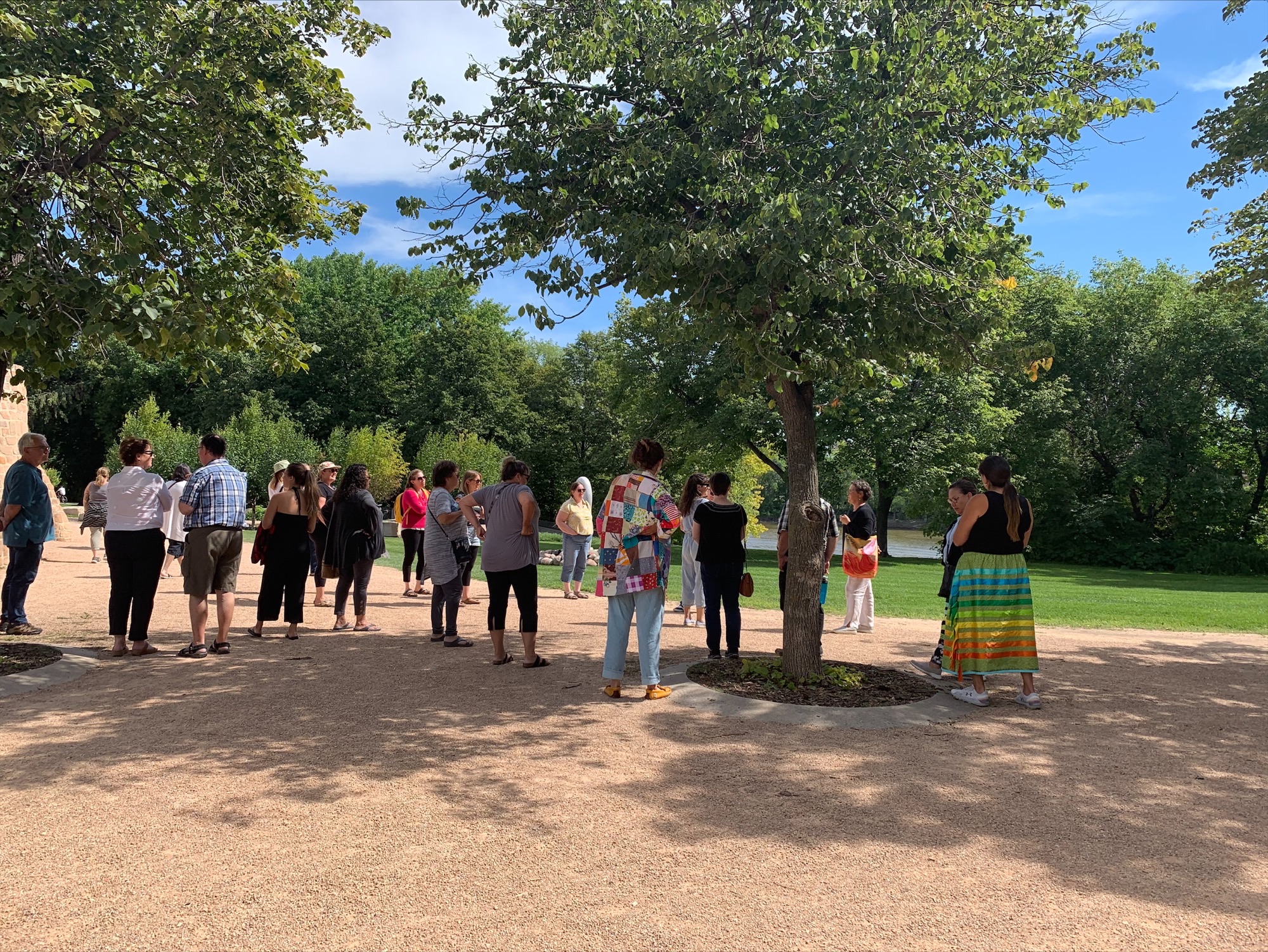
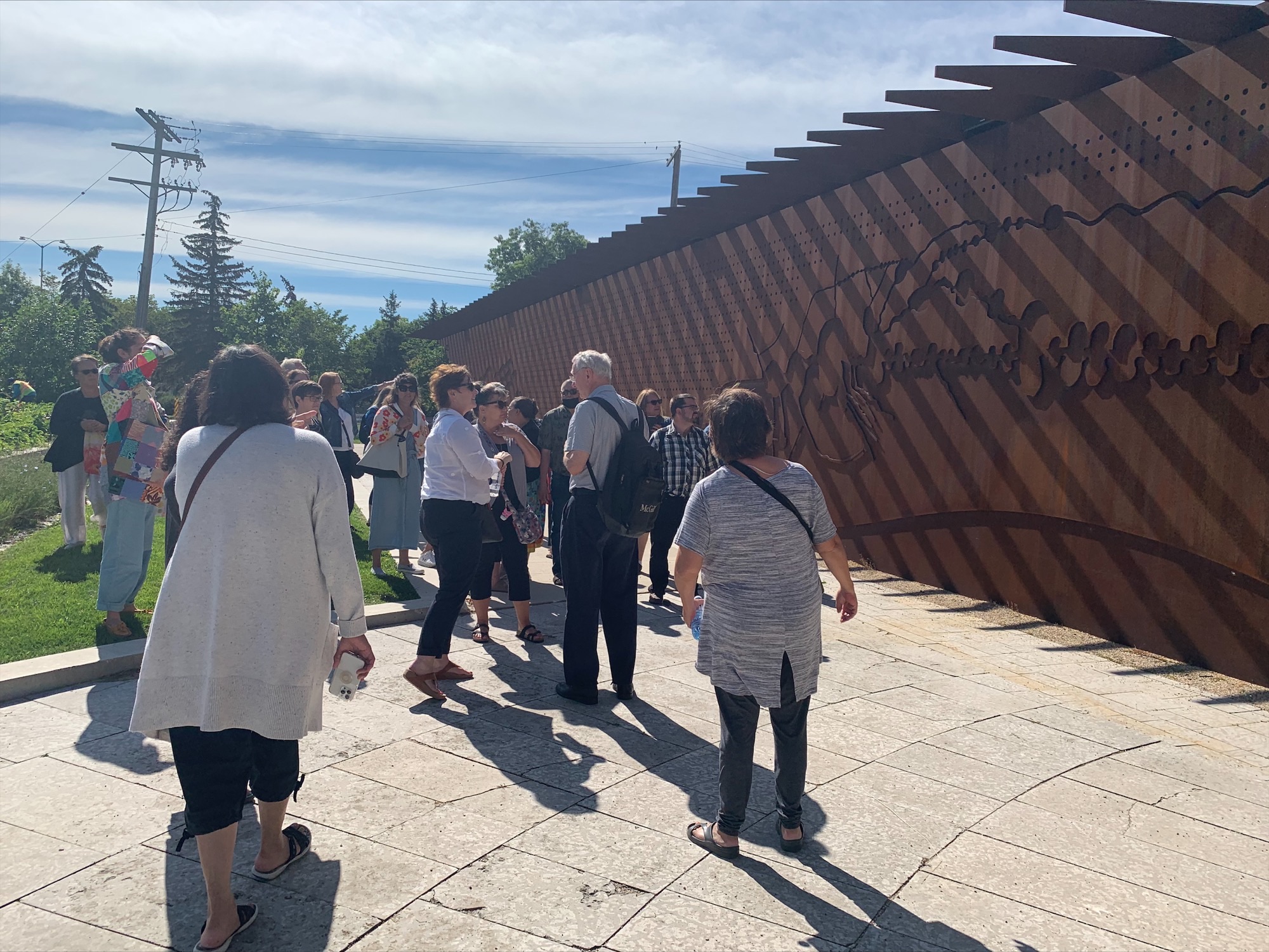
The storymap is accessible on Treaty Education’s webpage and participants in Treaty Education training are encouraged to access and discover the map via a large advertising banner, posted at training sessions, that included a QR code linking to the map.
The digital cartography for the map was created by Rob Langston, an award-winning geography/GIS teacher from Brandon. The narrative text was penned by the Treaty Education team. There is an ever-growing cache of videos which feature Treaty Elder interviews at significant Treaty-making sites. The storymap is a living pedagogical asset that forms part of the Treaty Education’s suite of materials for teaching and learning. New Elders’ videos will be added as the storymap continues to grow.